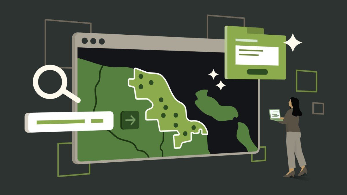
Digitise with Bozmaps
Unlock Precision Mapping with Expert Digitising Services
Bozmaps Digitise
We specialise in high-accuracy digitisation with a quick turnaround, ensuring precision without delays.
Industries Supported :
Urban Planning – Mapping land use, zoning, and infrastructure for sustainable city development.
Environmental Management – Digitising natural features, conservation areas, and ecological data for informed decision-making.
Infrastructure Development – Creating accurate GIS datasets for roads, utilities, and construction projects.
Asset Tracking & Management – Ensuring geospatial accuracy for monitoring and maintaining critical assets.


Digitising services
Vectorisation - ✔
Convert raster maps, scanned documents, and paper-based records into precise, georeferenced vector layers suitable for GIS applications. This process enhances spatial analysis, mapping accuracy, and data usability.
✅ Applications: Urban Planning | Land Registry | Environmental Assessments
✅ Supported Formats: Shapefiles | GeoJSON | DWG | KML | More
✅ Quality Assurance: Topology Validation | Snapping Rules | Multi-Source Cross-Referencing
Geo-referencing and Feature Extraction - ✔
Identify and digitise key geographic features such as roads, buildings, land parcels, vegetation, and utilities from satellite imagery, aerial photography, or drone surveys. This process ensures spatial datasets align with real-world locations for accurate mapping and analysis.
✅ Applications: Mining & Natural Resources | Infrastructure & Utilities | Real Estate & Property Management
✅ Data Outputs: Georeferenced Raster Images | Digitised Vector Layers
✅ Enhancements: Integration with Existing GIS Datasets | High-Resolution Scanning
Maps & Cartographic Digitisation - ✔
Create high-resolution, detailed digital maps by digitising topographic features, transportation networks, hydrography, land use, and administrative boundaries. This service supports map production, spatial planning, and geographic visualisation.
✅ Applications: Emergency Response | Environmental Monitoring | Municipal Planning
✅ Supported Features: Roads | Rivers | Land Use Zones | Boundaries | Utility Networks
✅ Customisation: Symbology & Layer Styling | Metadata Integration | Scale Optimisation

Data Conversion & Standardisation - ✔
Transform legacy spatial data, CAD drawings, PDFs, and text-based records into structured GIS formats. This service ensures compatibility across different platforms and maintains data consistency.
✅ Applications: GIS System Migration | Infrastructure & Engineering Projects | Historical Map Preservation
✅ Conversion Formats: Raster-to-Vector | CAD-to-GIS | Address Databases | Tabular Data
✅ Data Validation: Attribute Cleaning | Format Standardisation | Metadata Documentation
Precision Mapping is our Focus.
✅ Precision & Accuracy
We ensure high-quality, geo-referenced data digitisation, capturing every detail for optimal mapping solutions.
✅ Tailored Solutions
From infrastructure mapping to environmental monitoring, we customise digitising services to suit your project needs.
✅ Seamless Integration
Our digitised datasets are compatible with leading GIS platforms such as QGIS and ArcGIS.

Objective
To assess the impact of a proposed housing development on local biodiversity and ensure compliance with the UK Biodiversity Net Gain (BNG) framework.

Case Study: Biodiversity Net Gain Mapping for Urban Development
✔ BNG Calculations (Biodiversity Net Gain) – Assess and quantify changes in biodiversity value using GIS-based habitat mapping and condition assessments. We provide pre- and post-development BNG calculations, ensuring compliance with UK Biodiversity Net Gain regulations and supporting ecologically responsible land use planning.
Process
Digitised pre-development habitat conditions, classifying features according to UK Hab standards.
Conducted BNG calculations using spatial analysis to compare pre and post development biodiversity values.
Identified areas for habitat enhancement and restoration to achieve net gains in biodiversity.
Delivered comprehensive GIS datasets and reports for regulatory submission.
Outcome
The local authority successfully demonstrated compliance with BNG requirements.
Recommendations for habitat restoration and compensation led to a net positive biodiversity outcome.
The GIS datasets provided an auditable, spatially accurate record of biodiversity changes over time.
How We Align with GIS Standards & Best Practices
-
Our habitat classification and biodiversity calculations follow nationally recognised ecological assessment methodologies.
-
Ensuring clean, non-overlapping, and validated vector datasets.
-
Delivering GIS files in industry-standard formats (Shapefile, GeoJSON, KML, and more) to integrate seamlessly into any workflow.
-
Ensuring interoperability and long-term usability of spatial data.